Best Travel Map Animation Apps and Tools (2026)
Best Travel Map Animation Apps and Tools (2026)
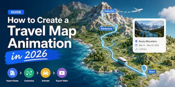
Travel map animations have become one of the most popular ways to share trips online
Instead of showing viewers a collection of photos, travelers can now create animated videos that visualize their entire journey on a map. These videos are commonly used on YouTube, Instagram Reels, TikTok, travel blogs, and presentations.
Whether you’re documenting a road trip, flight route, hiking adventure, train journey, or vacation recap, the right tool can save hours of work and produce much better results.
In this guide, we’ll compare the best travel map animation apps and tools available in 2026.
What Makes a Great Travel Map Animation Tool?
Not all travel animation software is created equal.
The best tools should make it easy to:
- Create routes manually
- Import GPX files
- Add photos
- Animate vehicles
- Customize map styles
- Export videos for social media
- Generate videos quickly
- Protect your travel data
If you’re creating travel content regularly, these features can make a huge difference.
1. MapAnim
Best Overall Travel Map Animation Tool
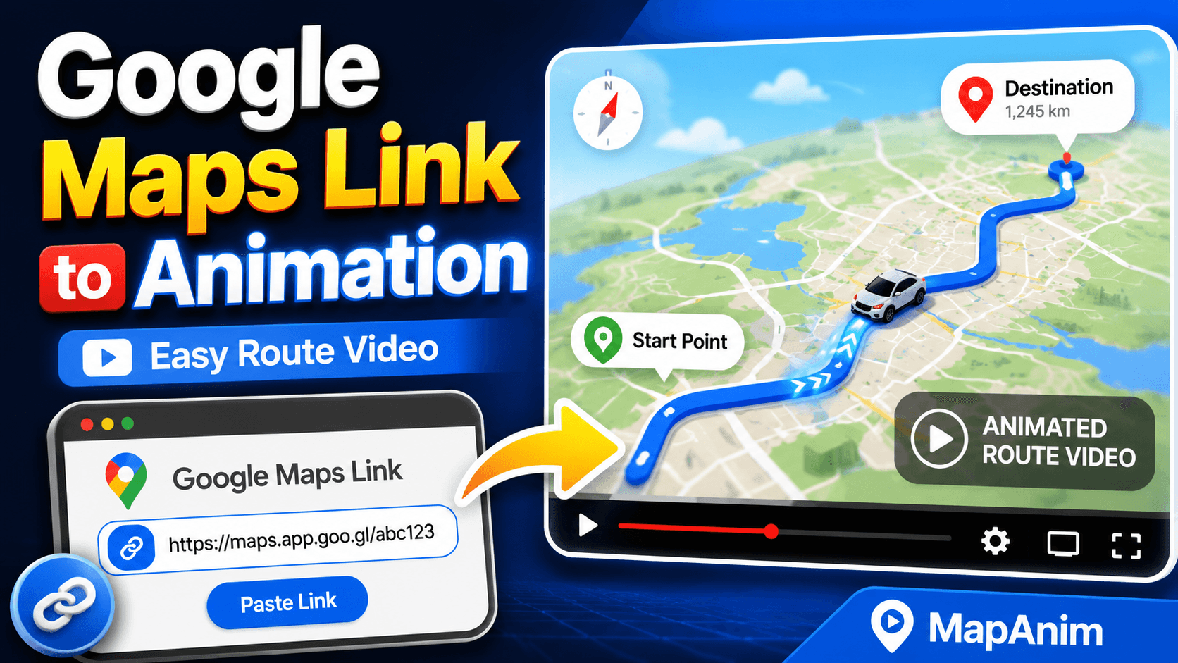
MapAnim is a modern travel map animation maker designed specifically for travelers, creators, vloggers, and outdoor enthusiasts.
Unlike many traditional video editors, MapAnim focuses entirely on turning routes into animated travel videos.
Key Features
- Travel route animation
- Road trip videos
- Flight route animation
- Train journey animation
- Hiking route animation
- GPX route import
- AI route generation
- Travel photo support
- 3D animated vehicles
- Multiple map styles
- Web, Android, and iOS support
Why MapAnim Stands Out
Most travel animation tools require uploading routes and photos to remote servers.
MapAnim can process route creation, editing, and video generation locally on your device.
Benefits include:
- Better privacy
- Faster workflow
- No waiting for uploads
- No account required
Best For
- Travel creators
- YouTubers
- Travel bloggers
- Road trip videos
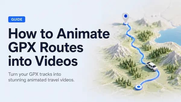
- GPX route videos
- Hiking animations
- Social media travel content
Pros
- Very easy to use
- Supports multiple journey types
- GPX import support
- AI route generation
- Local processing
- Available on Web, Android, and iOS
Cons
- Focused specifically on travel animations
2. Google Earth Studio
Best for Cinematic Earth Animations
Google Earth Studio allows users to create impressive camera animations using satellite imagery.
Many travel channels use it for:
- Country flyovers
- City zoom-ins
- Travel intros
- Geography videos
Pros
- Beautiful satellite imagery
- Professional camera controls
- Excellent for geography content
Cons
- Steeper learning curve
- Not designed specifically for travel route videos
- No GPX-focused workflow
Best For
- Documentary creators
- Geography channels
- Travel intros
3. TravelBoast
Best Mobile Travel Route App
TravelBoast became popular because it allows users to quickly create travel route videos directly from a phone.
Features
- Route creation
- Vehicle animations
- Social sharing
Pros
- Easy to use
- Mobile friendly
- Quick results
Cons
- Limited customization
- Fewer map options
- Less suitable for advanced projects
Best For
- Casual travelers
- Social media content
4. ArcGIS StoryMaps
Best for Interactive Travel Stories
ArcGIS StoryMaps combines maps, images, and storytelling.
Instead of generating videos, it focuses on interactive travel presentations.
Pros
- Powerful mapping
- Interactive experiences
- Educational use cases
Cons
- Not a video creator
- Higher learning curve
Best For
- Educational projects
- Interactive storytelling
5. Adobe After Effects
Best for Advanced Custom Animations
Adobe After Effects can be used to create almost any travel animation imaginable.
However, it requires significantly more effort.
Pros
- Unlimited customization
- Professional quality
Cons
- Expensive
- Complex
- Time-consuming
Best For
- Professional motion designers
- Agencies
- Advanced creators
Feature Comparison
| Feature | MapAnim | Google Earth Studio | TravelBoast | StoryMaps | After Effects |
|---|---|---|---|---|---|
| Travel Route Animation | ✅ | ⚠️ | ✅ | ❌ | ✅ |
| GPX Import | ✅ | ❌ | ❌ | ⚠️ | ⚠️ |
| AI Route Generation | ✅ | ❌ | ❌ | ❌ | ❌ |
| Travel Photos | ✅ | ❌ | ⚠️ | ✅ | ✅ |
| Animated Vehicles | ✅ | ❌ | ✅ | ❌ | ⚠️ |
| Mobile Support | ✅ | ❌ | ✅ | ⚠️ | ❌ |
| Local Processing | ✅ | ❌ | ❌ | ❌ | ✅ |
| Beginner Friendly | ✅ | ⚠️ | ✅ | ⚠️ | ❌ |
Which Tool Is Best for Different Travel Videos?
Road Trip Videos
Recommended:
- MapAnim
- TravelBoast
Flight Route Animations
Recommended:
- MapAnim
- Google Earth Studio
Hiking Route Videos
Recommended:
- MapAnim
GPX import and elevation-focused workflows make a huge difference for hiking content.
Train Journey Videos
Recommended:
- MapAnim
Train route animations remain a niche feature that few tools support well.
Travel Vlog Intros
Recommended:
- Google Earth Studio
- MapAnim
Why GPX Support Matters
For outdoor adventures, GPX support is one of the most important features.
GPX files can come from:
- Strava
- Garmin
- AllTrails
- Komoot
- Apple Watch
- GPS Devices
Instead of recreating routes manually, you can visualize the exact journey.
This is especially useful for:
- Hiking
- Cycling
- Trail Running
- Backpacking
- Trekking
Why More Travelers Prefer Local Processing
Privacy is becoming increasingly important.
Many online tools require users to upload:
- Photos
- Travel routes
- GPS tracks
- GPX files
to remote servers.
Local processing offers several advantages:
Better Privacy
Your travel data remains on your device.
Faster Video Creation
No upload delays.
More Control
You decide where your data is stored.
Better for Large GPX Files
Long hiking routes and road trips process more efficiently.
Frequently Asked Questions
What is the best travel map animation app?
MapAnim is one of the best options for travelers who want route animations, GPX support, AI route generation, and local processing.
Can I create flight route animations?
Yes.
Several tools support flight route videos, including MapAnim and Google Earth Studio.
Can I import GPX files?
Yes.
MapAnim supports GPX route imports for hiking, cycling, running, and outdoor adventures.
What is the best travel map animation tool for beginners?
MapAnim and TravelBoast are among the easiest tools for beginners.
Which tool works on mobile?
MapAnim and TravelBoast support mobile workflows.
Final Verdict
The best travel map animation tool depends on your goals.
If you need cinematic satellite flyovers, Google Earth Studio remains a strong option.
If you need complete creative freedom, After Effects is unmatched.
However, for most travelers and creators looking to quickly turn routes into animated videos, MapAnim offers the best balance of simplicity, flexibility, privacy, and travel-focused features.
Whether you’re creating:
- Road trip videos
- Flight route animations
- Train journey videos
- Hiking route animations
- GPX travel stories
MapAnim provides one of the fastest and easiest ways to bring your journey to life.