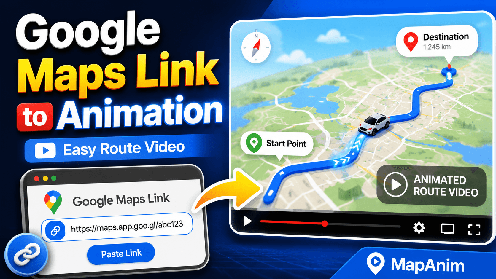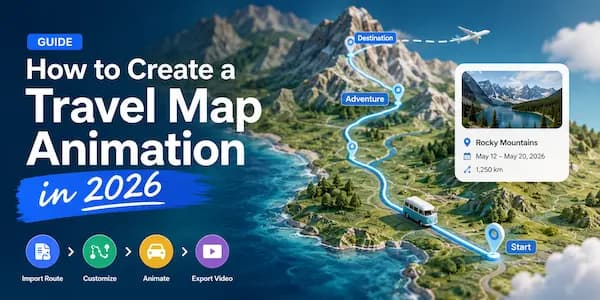
How to Animate GPX Routes into Videos
GPX files contain the real GPS path of your journey.
Whether you’re hiking a mountain trail, cycling across a country, running a marathon, or completing an epic road trip, GPX data allows you to recreate your exact route on a map.
Instead of sharing a static screenshot of your GPS track, you can transform your route into an animated video that shows how the journey unfolded.
In this guide, you’ll learn how to animate GPX routes into videos and create engaging content for YouTube, Instagram, TikTok, travel blogs, and personal memories.
What Is a GPX File?
GPX (GPS Exchange Format) is one of the most widely used formats for storing GPS route data.
A GPX file can contain:
- GPS track points
- Route information
- Elevation data
- Waypoints
- Distance information
- Timestamps
Many GPS devices and outdoor apps export GPX files automatically.
Common GPX sources include:
- Garmin
- Strava
- AllTrails
- Komoot
- Apple Watch
- Suunto
- Coros
- Gaia GPS
- Outdoor GPS devices
Why Turn GPX Routes into Videos?
A GPX file is useful for navigation, but it doesn’t tell a story.
Animated route videos make your journey much easier to understand and share.
Benefits include:
Visual Storytelling
Show how the route progressed from start to finish.
Shareable Content
Perfect for:
- YouTube
- Instagram Reels
- TikTok
- Travel Blogs
Showcase Real Adventures
Display your actual route rather than a simplified map.
Preserve Memories
Create lasting records of hikes, bike rides, road trips, and adventures.
What Types of GPX Routes Can Be Animated?
Almost any route can be transformed into an animated video.
Hiking Routes
Popular examples:
- Mount Fuji
- Appalachian Trail
- Tour du Mont Blanc
- Everest Base Camp Trek
GPX animations help visualize:
- Trail progress
- Summit climbs
- Elevation gain
- Hiking distance
Cycling Routes
Great for:
- Weekend rides
- Bikepacking trips
- Long-distance tours
- Mountain biking adventures
Show every kilometer of your journey.
Running Routes
Perfect for:
- Marathons
- Trail running
- Training routes
- Race recaps
Visualize the route in a more engaging way than fitness screenshots.
Road Trips
Many GPS apps can export road trip routes.
Examples:
San Francisco
↓
Los Angeles
↓
Las Vegas
↓
Grand Canyon
Animated route videos make road trip recaps far more engaging.
Adventure Travel
Combine:
- Hiking
- Driving
- Ferries
- Flights
into one animated travel story.
Step 1: Export Your GPX File
Before creating an animation, export your GPX track.
Examples:
Strava
Activity → Export GPX
Garmin Connect
Activity → Export Original
AllTrails
Trail → Download GPX
Komoot
Tour → Export GPX
Once downloaded, you’ll have a GPX file ready for import.
Step 2: Import the GPX Route
Open your route animation tool and upload the GPX file.
The software should automatically display:
- Route path
- Starting point
- Ending point
- Waypoints
- Elevation data (if available)
This eliminates the need to manually recreate the route.
Step 3: Choose a Map Style
The map style significantly impacts the final video.
Terrain Maps
Best for:
- Hiking
- Trekking
- Trail Running
Terrain maps clearly show mountains and elevation changes.
Satellite Maps
Best for:
- Adventure travel
- National parks
- Scenic routes
Satellite imagery adds realism.
Street Maps
Best for:
- Cycling
- Urban routes
- Road trips
Street maps make navigation easier to understand.
Minimal Maps
Best for:
- Presentations
- Social media
- Clean visual storytelling
Step 4: Animate the Route
This is where the route comes to life.
The route can be drawn progressively as the journey unfolds.
Viewers can follow:
- Route progression
- Direction of travel
- Important stops
- Distance covered
Animated routes are far more engaging than static maps.
Step 5: Add a Moving Vehicle
Many route animation tools allow you to add animated vehicles.
Examples include:
Walking
Perfect for:
- Hiking
- Trekking
- Trail Running
Bicycle
Perfect for:
- Road cycling
- Bikepacking
- Mountain biking
Car
Perfect for:
- Road trips
- Scenic drives
Train
Perfect for:
- Rail journeys
- Multi-city travel
Airplane
Perfect for:
- Flight route animations
- International travel
The right vehicle makes the animation feel much more realistic.
Step 6: Add Travel Photos
Photos transform a route into a story.
Consider adding photos from:
- Trailheads
- Viewpoints
- Campsites
- Mountain summits
- Landmarks
- Cafés
- Hotels
Photos help viewers connect emotionally with the journey.
Step 7: Show Elevation Data
One of the biggest advantages of GPX files is elevation information.
Elevation profiles help viewers understand:
- Climbing sections
- Descents
- Total elevation gain
- Route difficulty
This is especially useful for:
- Hiking videos
- Cycling videos
- Trail running routes
Step 8: Preview Your Animation
Before exporting:
Check:
- Route accuracy
- Map style
- Vehicle movement
- Photo timing
- Labels
- Camera movement
A quick preview helps avoid mistakes.
Step 9: Export the Video
Choose the format that matches your destination platform.
9:16 Vertical
Best for:
- TikTok
- Instagram Reels
- YouTube Shorts
16:9 Landscape
Best for:
- YouTube
- Travel documentaries
- Presentations
1:1 Square
Best for:
- Instagram Posts
- Facebook Posts
Example: Mount Fuji GPX Route Animation
A popular hiking route animation example.
Route
5th Station
↓
Mountain Hut
↓
Summit
Video Elements
- GPX Route Import
- Walking Animation
- Terrain Map
- Elevation Profile
- Summit Photos
- Sunrise Views
The final result tells the complete story of the climb.
Why Local GPX Processing Matters
Many route animation tools require users to upload GPX files to cloud servers.
For privacy-conscious travelers, local processing offers several benefits.
Better Privacy
Your GPS tracks remain on your device.
Faster Workflow
No upload delays.
More Control
You decide where your route data is stored.
Better for Large GPX Files
Long-distance hiking routes and cycling tours can be processed efficiently.
Common Mistakes to Avoid
Using Low-Quality GPX Tracks
Messy GPS data can create unrealistic animations.
Use clean GPS recordings whenever possible.
Choosing the Wrong Map Style
Terrain maps work better for hiking.
Street maps work better for urban routes.
Making Videos Too Long
Focus on highlights rather than every second of the journey.
Ignoring Elevation Data
Elevation profiles often make hiking and cycling videos much more interesting.
Forgetting Photos
Photos help transform a route into a memorable travel story.
Frequently Asked Questions
Can I animate any GPX file?
Yes.
Most GPX files from GPS devices and fitness apps can be animated.
Can I animate hiking routes?
Absolutely.
Hiking route animations are one of the most popular uses for GPX files.
Can I animate cycling routes?
Yes.
Cycling GPX tracks work especially well with animated maps.
Do GPX files contain elevation data?
Many GPX files include elevation information that can be displayed during the animation.
Can I add photos to a GPX route video?
Yes.
Photos can be added throughout the route to create a richer travel story.
Final Thoughts
GPX files contain far more than navigation data.
They record the real path of your adventure.
By turning GPX routes into animated videos, you can create engaging stories that show where you traveled, how you got there, and what made the journey memorable.
Whether you’re documenting:
- Hiking routes
- Cycling tours
- Trail runs
- Road trips
- Adventure travel
Animated GPX videos provide one of the most effective ways to share the experience.
Create Your Own GPX Route Animation
Import your GPX file, choose a map style, add photos, customize the animation, and turn your route into a shareable travel video with MapAnim.